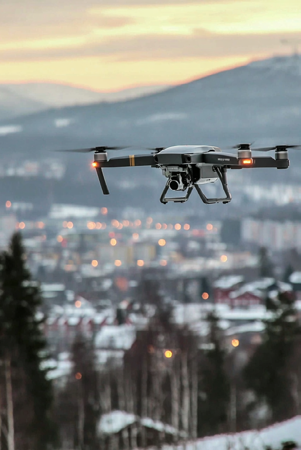
AI Methods Turn Satellite Data into Sustainability Tools
The National Space Data Lab at RISE processes 20 terabytes of satellite data daily, applying AI to monitor drought, coastal changes, and agricultural land use for the UN Sustainability Goals.

The National Space Data Lab is developing artificial intelligence techniques to process and analyze vast quantities of satellite imagery for sustainable development purposes. Operating from the ICE Datacenter in Lulea, the facility receives approximately 20 terabytes of data every day from the EU’s Copernicus Earth observation program.
The Collaboration
The Space Data Lab operates through a unique partnership:
- Swedish Space Agency
- AI Sweden
- RISE
- Lulea University of Technology
Together, they work to transform raw satellite observations into actionable tools supporting the UN’s Agenda 2030 sustainability objectives.
Successful Applications
Three projects have demonstrated remarkable results:
Drought Monitoring (Malardalen Valley)
Using vegetation indices to detect climate change impacts, researchers compared 2018-2019 data using machine learning regression techniques. The AI models can identify stressed vegetation before visible damage appears.
Coastal Zone Monitoring
AI models identify physical coastline changes using Sentinel-2 satellite imagery and hidden Markov-based particle filters. This enables tracking of erosion, sea level impacts, and coastal ecosystem changes.
Agricultural Land Monitoring
Unsupervised machine learning analyzes pasture usage patterns, potentially replacing manual field inspections by Swedish agricultural authorities. This dramatically improves efficiency while maintaining oversight.
Infrastructure
The lab operates computational infrastructure at ICE Datacenter in Lulea, Sweden, providing access to:
- Copernicus open data
- Open Data Cube analytical tools
- OpenEO standardized processing
- STAC (SpatioTemporal Asset Catalog) for data discovery
The Potential
Since 2019, the National Space Data Lab has been building the foundation for Sweden to lead in applying AI to satellite data for sustainability. The combination of vast data streams, advanced AI, and sustainable computing infrastructure creates unique opportunities to address global challenges.